Private Limited No: 162233/073/074
Registration Number: 604389071

Name of Project : Upper Sardi Khola Hydropower Project.
Type of the Project : Run of River
Province : Gandaki
District : Kaski
Municipality : Machhapuchhre R/M -2
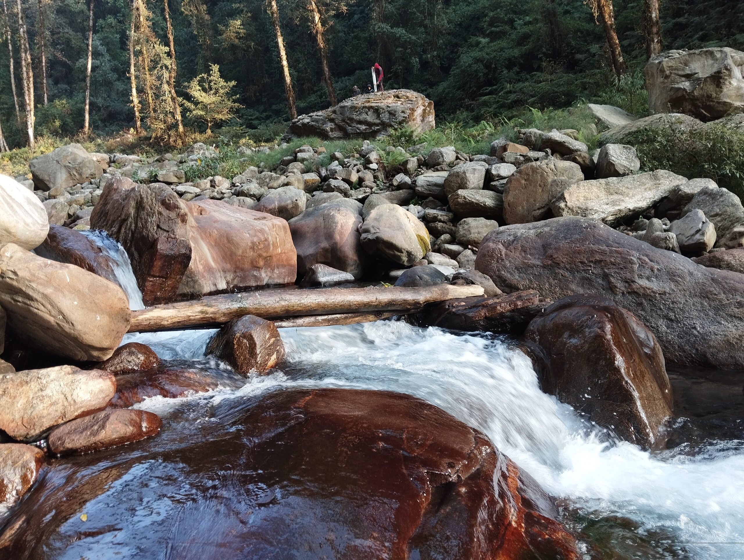
Municipality River : Sardi Khola
Project Location : 28° 21’ 26” N, 28° 22’ 08” N : 84° 00’ 46” E, 84° 02’ 13” E
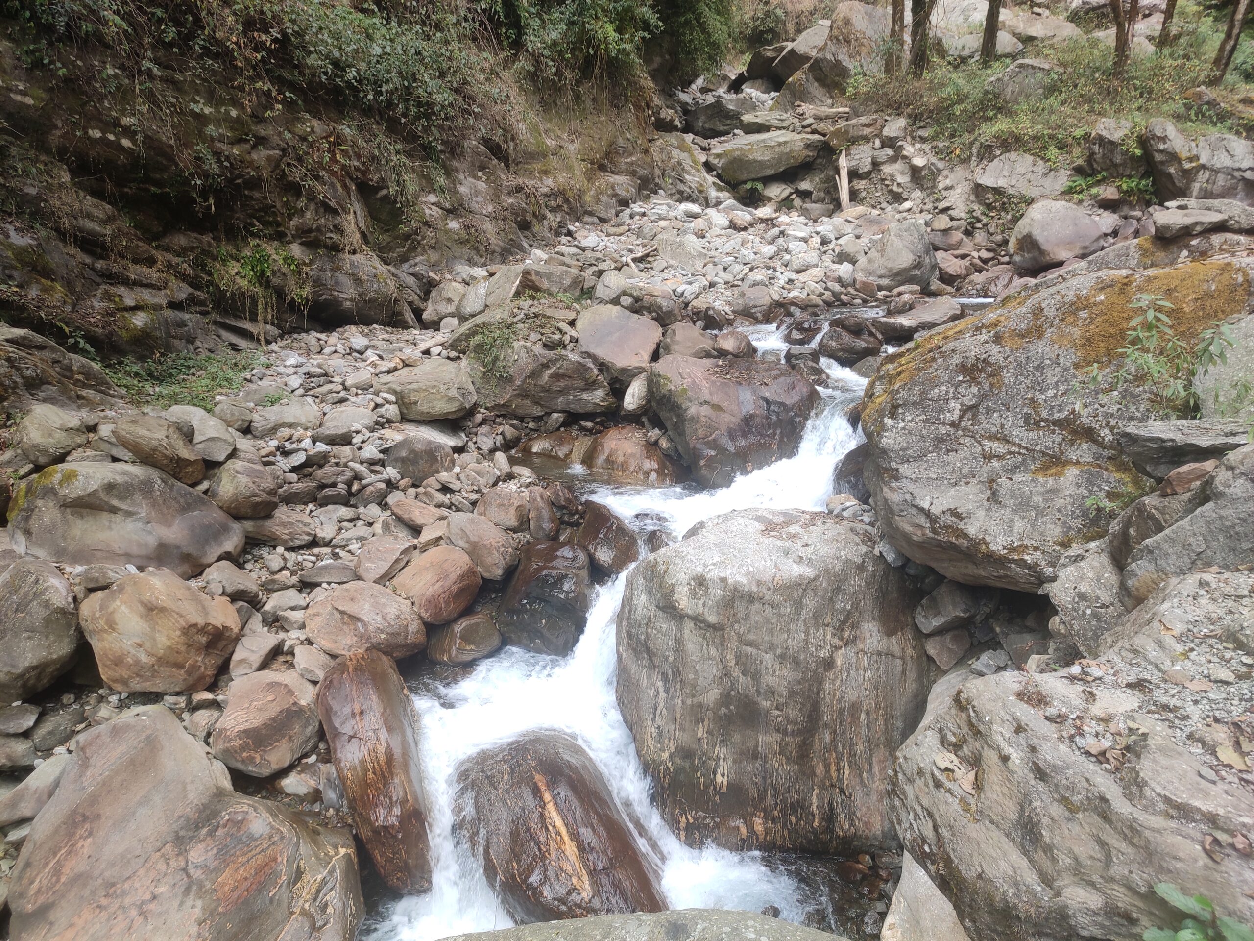
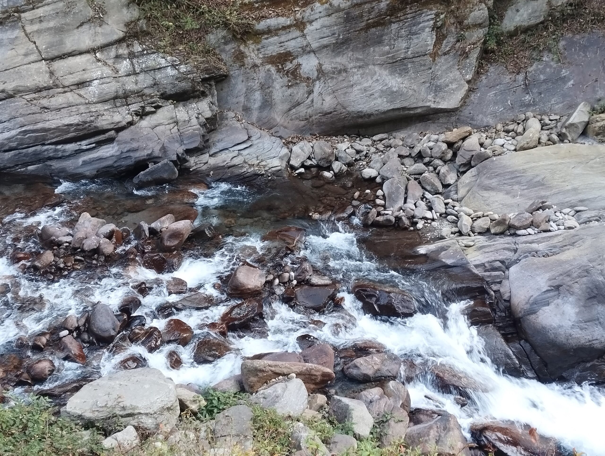
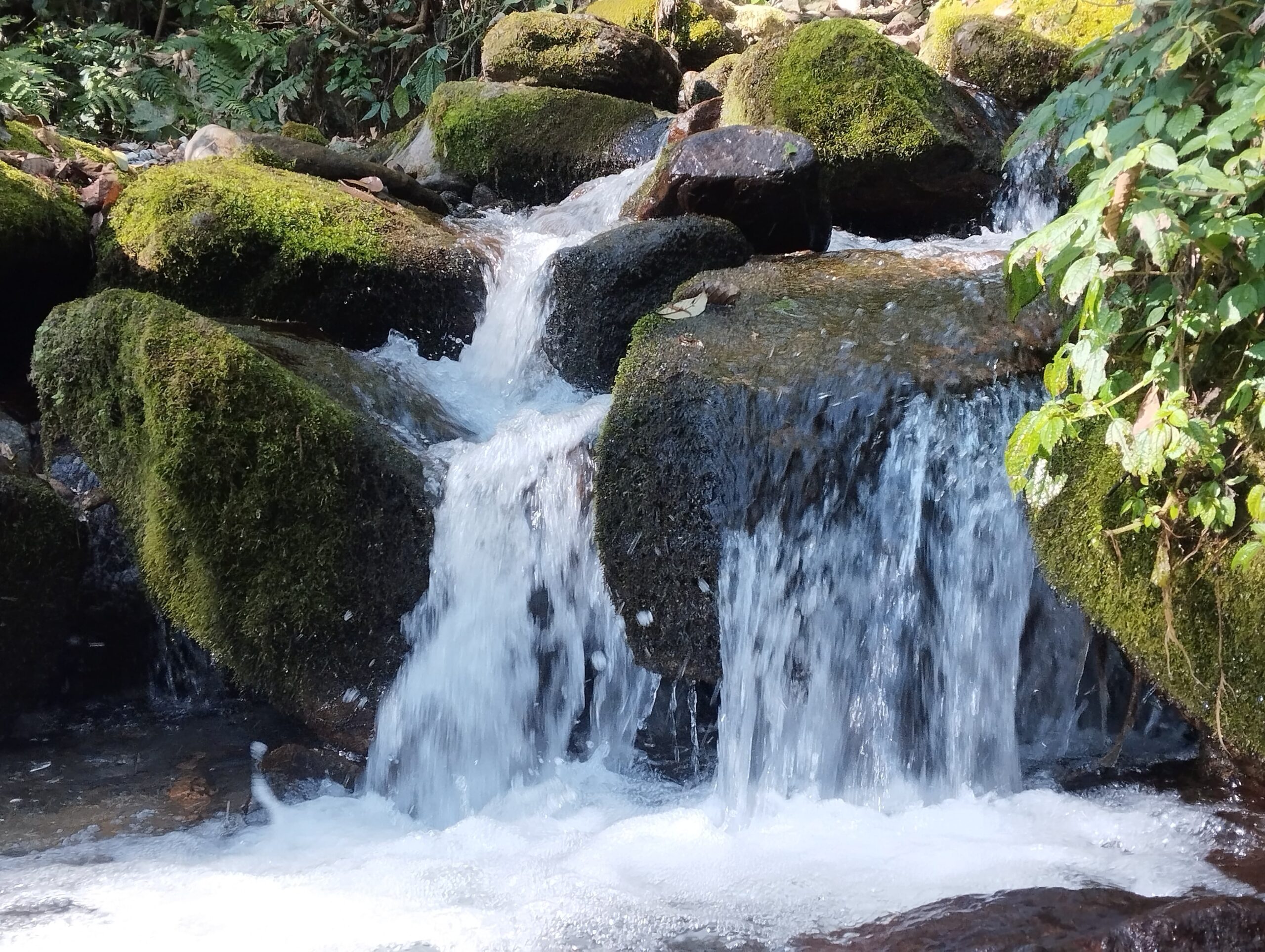
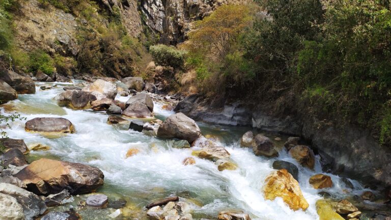
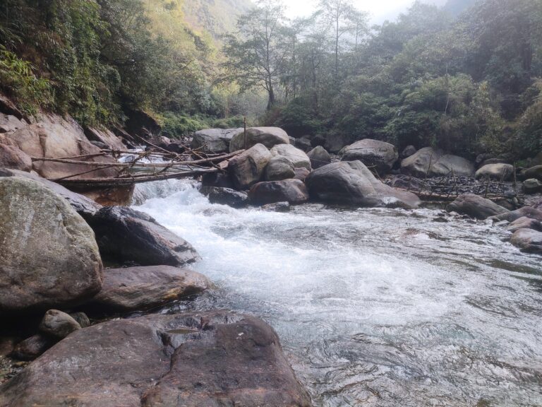
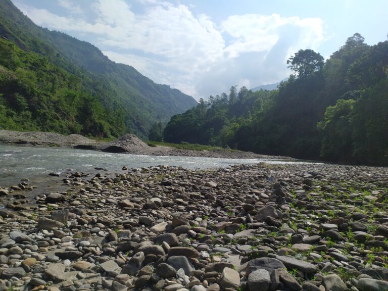
Name of River : Sardi Khola
Type of Scheme : Run of River
Gross Head : 274.00m
Net rated Head : 261.2m
Installed Capacity : 2..90MW
Dry Season energy (saleable) : 5.07GWh
Wet Season Energy (saleable) : 11.82GWh
Average Annual Energy after Outage : 16.89GWh
Catchment Area : 15.5km2 Sardi & 2.00km2 Kutmi
Design Discharge @40% : 1.16m3/sSardi & 0.15m3/s Kutmi
Riparian Release : 38lps Sardi & 4.9lpsKutmi
Design Flood Discharge (100yrs) : 211.4m3/s Sardi & 29.2m3/s Kutmi
Average Annual Precipitation :
Type of Weir : Boulder Riprap over flow weir with undersluice
Length of Weir : 18.9m
No. of Openings : No.
Each Opening size (W x H) : No.
Crest Elevation : 1874.00masl
Full Supply Level (FSL) : No.
Under-sluice Opening (W X H) : 3.0m
Under-sluice Crest Level : No.
Type of Intake : Side Intake
Nos of Opening : No.
Size of Intake (W x H) : 1.5m×0.8m-2nos
Intake Sill Level : No.
Length of Gravel Trap (Avg.) : 3m×4m
No. of Chambers : No.
Width of Gravel Trap (Avg.) : 3m×4m
Overall depth : No.
Particle size to be trapped : 5mm
Type : Dufour,Single Bay
No. of Chambers :
Dimension (L) : 26m
Dimension (B) : 5.8m
Dimension (H) (Average) : No
Inlet Transition Length : No
Normal Water Level : No.
Particle Size to be settled : 0.20mm
Trapping Efficiency : No.
Type : MS-pipe Buried & exposed section
Internal Diameter : 0.95mDia. and 0.85 dia thickness 6mm to 14mm
Length : 2235
Longitudinal Slope
Type : Surface
Power House Size : 26.7m×18.8m×11.3m
Power House floor Level : 1599.0m
Turbine Centerline Level : 1600.0m
Type : 1.6m×1.0m×52.00m
Water Level : 1597.740m